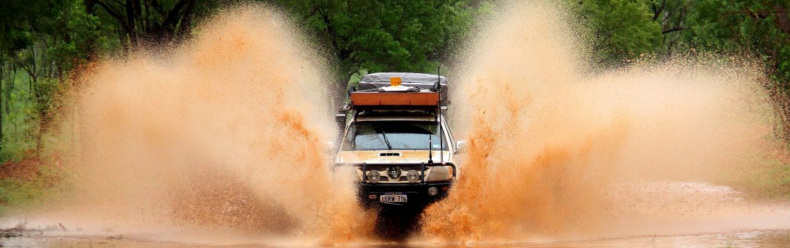
After 3 nights at Seal Creek camp site and fishing around poison creek we set off to the remote Eastern end of Cape Arid National Park towards Point Malcolm and Israelite Bay via Fisheries road. There are no facilities in this part of the National Park. Fisheries Road was a rough 4WD track to Point Malcolm. The track becomes impassable after rain, and there were a few mud holes around from the rain the weeks before. There are chicken tracks around the mud holes, which we used. We camped one night at Point Malcolm and tried some fishing but it was not possible with the coast completely inundated with seaweed. We left Point Malcolm and took the track to visit Israelite Bay to see the Telegraph station & homestead ruins. The landscape was flat low lying scrub and large salt flats. The Old Telegraph Line that passed through this area, built circa 1870, provided the earliest direct communication with the Eastern States. After experiencing the remoteness of its location, we are amazed at the persistence of those early pioneers who actually lived out here. There are a few shacks around the area, looks like they might still be in use. The telegraph station was a superb building, with only the limestone walls remaining. Some of the initials carved into the walls dated back to the 1940’s and made for fascinating reading. Not far from the site were a few graves of telegraph station workers from the late 1800s to early 1900s.
There’s heaps of tracks running around the Israelite Bay area, and plenty of little camping areas among the shrubs behind the dunes. We came across quite a few other campers, many large groups of 4WDs and camper trailers. It’s a popular spot for group fishing getaways and four wheeling.
After our visit to Israelite Bay we commenced the 50km trek to Mt Ragged via the Gora track. What was initially an exciting off road journey was rapidly becoming an exhausting drive. Halfway to Mt Ragged we realised our front number plate had almost fallen off due to the corrugations and rocky outcrops along the track. The rough track made for fairly slow driving and it seemed like forever, taking 4 hours to complete the 50km journey. There is another track for traveling to Mt Ragged from the Seal Creek side. Not sure of its condition but we imagine it’s just as bad. If you want to cut across to Balladonia from Cape Arid National Park the fastest route would be via Parmango Road, close to Condingup.


Categories: Western Australia