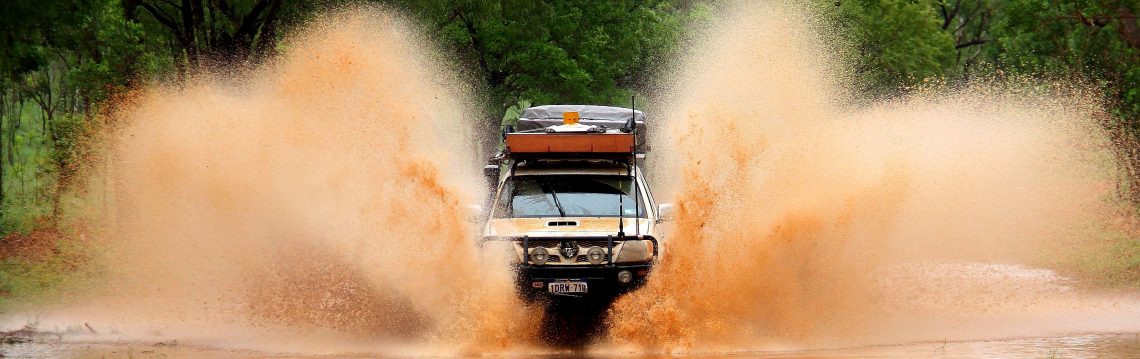
Apparently the Cape Leveque Road was initially constructed as an aqueduct to collect and channel water south to drier areas. The remnants of this design can be seen today, with the road cut a couple of meters into the surface of the ground and negative inward sloping camber. It’s like driving down a canal but with big ass pounding corrugations instead of water.
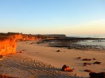
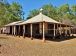
First stop Beagle Bay to see the Church. Sharni has a friend living in Beagle Bay so we stayed with her for a couple of nights. Then onto some of the many spots at the northern tip of Cape Leveque – Middle Lagoon, Pender Bay, Kooljaman, Lombadina and Cygnet Bay. We enjoyed several nights staying at the Cygnet Bay camping area having a coupla drinks by the swimming pool. Sharni’s friend from Beagle Bay met us for a day trip to visit a friend living at Tappers Inlet – a spot not open to the public.
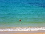
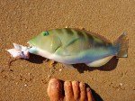
At Pender bay we met up with a couple we’d met several times before on our travels along Gibb River Road and went out on their little dinghy, catching a Mackerel. Other spots produced mainly sharks and one undersized bluebone. One shark was notably large, maybe 1.5m, and was a handful getting in. I let that one go but caught an 80cm specimen which was kept for dinner. It fed us and our camping neighbours.


Categories: Western Australia